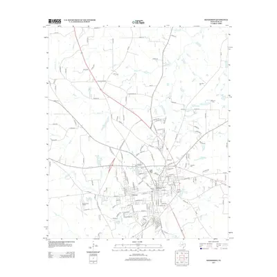
2013 Map of Henderson
USGS Topo · Published 2013About this map
The Henderson Commercial Historic District anchors this 2013 survey, detailing the urban grid and expanding residential neighborhoods of Rusk County. Commercial development and historic preservation converge in the heart of Henderson, while the surrounding landscape is defined by the headwaters of numerous creeks including Beaver Run, Shawnee Cr, and Chambers Cr. Residential expansion is evident in areas like Crimcrest and Lake View, with public spaces like Lakewood Memorial Park providing greenbelts between housing developments and natural water bodies such as Lake Forrest.
Find a feature on this map
163 named features on this map. Tap any name to fly to it.
Don’t see what you’re looking for? This feature index may not catch every label — zoom into the map to look around manually.
Map Details
Editions of this 2013 Henderson Map
This is the sole edition of this map. No revisions or reprints were ever made.
Other maps of this area
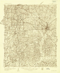
1935 · Henderson
USGS Topo · 1:48,000
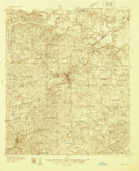
1936 · Kilgore
USGS Topo · 1:48,000
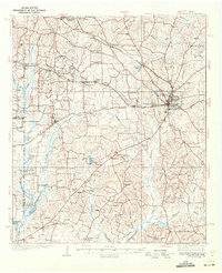
1939 · Henderson
USGS Topo · 1:62,500
1940 · Kilgore
USGS Topo · 1:62,500
1956 · Tyler
USGS Topo · 1:250,000
1958 · Tatum
USGS Topo · 1:62,500
1960 · Minden
USGS Topo · 1:62,500
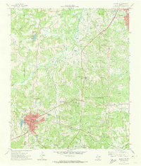
1971 · Kilgore SW
USGS Topo · 1:24,000
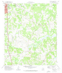
1971 · Kilgore SE
USGS Topo · 1:24,000
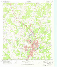
1973 · Henderson
USGS Topo · 1:24,000