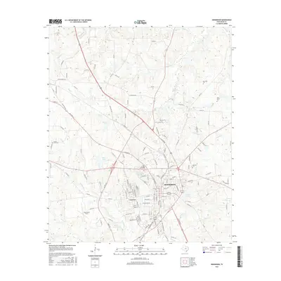
2016 Map of Henderson
USGS Topo · Published 2016About this map
Henderson serves as the focal point of this Rusk County landscape, showing the city's modern layout and its deep connections to local history through numerous burial grounds. The geographic record preserves the locations of the Old City Cem, Thomas-Gaston Cem, and Oberthier Cem, which provide essential touchstones for genealogical research. Surrounding the city center, the terrain is defined by a complex network of small waterways including Chambers Creek, Mill Creek, and Bromley Creek, alongside several named reservoirs like Lake Forrest and Felix Cook Reservoir. To the southwest, the Rusk County Airport and the settlement of Crimcrest mark the continued expansion of the region's infrastructure. This 2016 survey documents the mature integration of residential areas, municipal parks like Lakewood Memorial Park, and the essential transportation corridors that link this East Texas hub to the surrounding countryside.
Find a feature on this map
151 named features on this map. Tap any name to fly to it.
Don’t see what you’re looking for? This feature index may not catch every label — zoom into the map to look around manually.
Map Details
Editions of this 2016 Henderson Map
This is the sole edition of this map. No revisions or reprints were ever made.
Other maps of this area
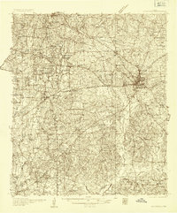
1935 · Henderson
USGS Topo · 1:48,000
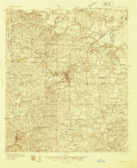
1936 · Kilgore
USGS Topo · 1:48,000
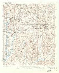
1939 · Henderson
USGS Topo · 1:62,500
1940 · Kilgore
USGS Topo · 1:62,500
1956 · Tyler
USGS Topo · 1:250,000
1958 · Tatum
USGS Topo · 1:62,500
1960 · Minden
USGS Topo · 1:62,500
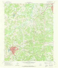
1971 · Kilgore SW
USGS Topo · 1:24,000
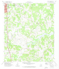
1971 · Kilgore SE
USGS Topo · 1:24,000
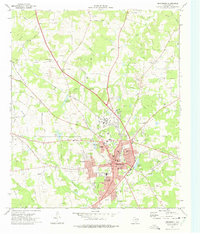
1973 · Henderson
USGS Topo · 1:24,000