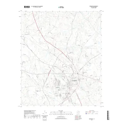
2019 Map of Henderson
USGS Topo · Published 2019About this map
Henderson serves as the focal point of this Rusk County study, appearing alongside the neighboring community of Crimcrest. The landscape is defined by a dense network of local roads and watercourses, including Chambers Cr and Mill Cr, which drain the undulating terrain typical of this part of East Texas. A notable concentration of cemeteries, such as the Old City Cem and Oberthier Cem, provides significant value for genealogical research, anchoring family histories to specific plots of land.
Find a feature on this map
153 named features on this map. Tap any name to fly to it.
Don’t see what you’re looking for? This feature index may not catch every label — zoom into the map to look around manually.
Map Details
Editions of this 2019 Henderson Map
This is the sole edition of this map. No revisions or reprints were ever made.
Other maps of this area
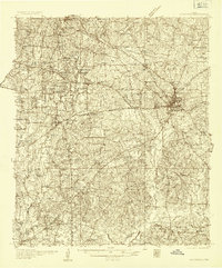
1935 · Henderson
USGS Topo · 1:48,000
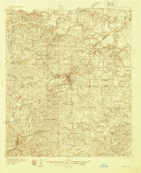
1936 · Kilgore
USGS Topo · 1:48,000
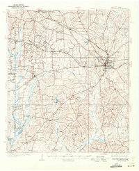
1939 · Henderson
USGS Topo · 1:62,500
1940 · Kilgore
USGS Topo · 1:62,500
1956 · Tyler
USGS Topo · 1:250,000
1958 · Tatum
USGS Topo · 1:62,500
1960 · Minden
USGS Topo · 1:62,500
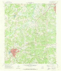
1971 · Kilgore SW
USGS Topo · 1:24,000
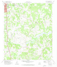
1971 · Kilgore SE
USGS Topo · 1:24,000
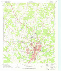
1973 · Henderson
USGS Topo · 1:24,000