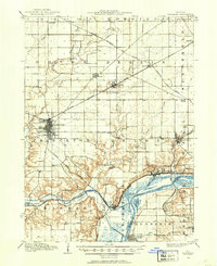
1909 Map of Hennepin
USGS Topo · Published 1909About this map
Princeton serves as a major rail hub in this early twentieth-century survey, situated at a complex junction where the Chicago Burlington and Quincy and other lines converge. The landscape is defined by the winding Illinois River and its associated backwaters, including Depue Lake and Spring Lake. An engineering marvel of the era, the Illinois and Mississippi Canal, cuts through the southern portion of the region near Bureau, providing a direct water link across the prairie.
Find a feature on this map
73 named features on this map. Tap any name to fly to it.
Don’t see what you’re looking for? This feature index may not catch every label — zoom into the map to look around manually.
Map Details
Editions of this 1909 Hennepin Map
This is the sole edition of this map. No revisions or reprints were ever made.
Other maps of this area
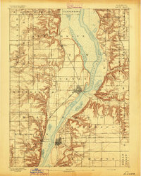
1893 · Lacon
USGS Topo · 1:62,500
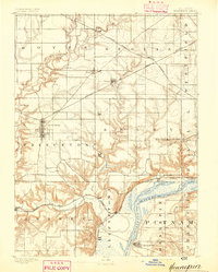
1893 · Hennepin
USGS Topo · 1:62,500
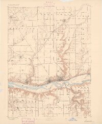
1893 · Lasalle
USGS Topo · 1:62,500
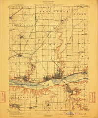
1911 · La Salle
USGS Topo · 1:62,500
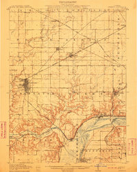
1911 · Hennepin
USGS Topo · 1:62,500
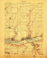
1913 · La Salle
USGS Topo · 1:62,500
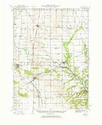
1921 · Buda
USGS Topo · 1:62,500
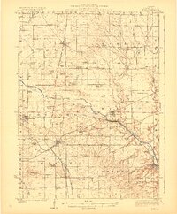
1923 · Buda
USGS Topo · 1:62,500
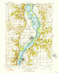
1933 · Lacon
USGS Topo · 1:62,500
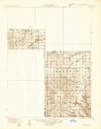
1933 · Camp Grove
USGS Topo · 1:48,000