
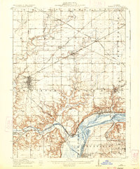
1911 Map of Hennepin
USGS Topo · Published 1911About this map
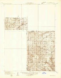
Hennepin and the winding Illinois River dominate the southern landscape of this 1909 survey, depicting a region defined by its critical transition from river transport to heavy rail. The area surrounding the county seat at Princeton is a dense network of early 20th-century infrastructure, featuring the Chicago Rock Island and Pacific and the Chicago Burlington and Quincy railroads. These lines connect smaller settlements like Tiskilwa, Bureau, and Dover to the larger river economy.
Find a feature on this map
64 named features on this map. Tap any name to fly to it.
Don’t see what you’re looking for? This feature index may not catch every label — zoom into the map to look around manually.
Map Details
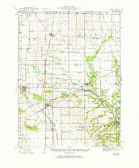
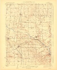
Editions of this 1911 Hennepin Map
2 editions found
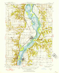
Other maps of this area

1893 · Lacon
USGS Topo · 1:62,500

1893 · Hennepin
USGS Topo · 1:62,500

1893 · Lasalle
USGS Topo · 1:62,500

1909 · Hennepin
USGS Topo · 1:62,500

1911 · La Salle
USGS Topo · 1:62,500

1913 · La Salle
USGS Topo · 1:62,500
1921 · Buda
USGS Topo · 1:62,500
1923 · Buda
USGS Topo · 1:62,500
1933 · Lacon
USGS Topo · 1:62,500
1933 · Camp Grove
USGS Topo · 1:48,000