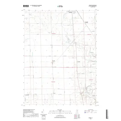
2018 Map of Henning
USGS Topo · Published 2018About this map
Henning sits at a crossroads of the rural Illinois landscape, serving as a focal point for the agricultural communities of north-central Vermilion County. The meandering path of the North Fork Vermilion River carves through the eastern half of the region, creating a natural corridor that contrasts with the rigid grid of county roads such as RD 3000 N and E 3100 RD. The presence of Rossville Junction and the small settlement of Rayville highlights the legacy of rail-influenced development that once defined these prairie outposts.
Find a feature on this map
52 named features on this map. Tap any name to fly to it.
Don’t see what you’re looking for? This feature index may not catch every label — zoom into the map to look around manually.
Map Details
Editions of this 2018 Henning Map
This is the sole edition of this map. No revisions or reprints were ever made.
Other maps of this area
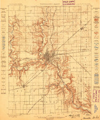
1899 · Danville
USGS Topo · 1:62,500
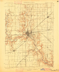
1900 · Danville
USGS Topo · 1:62,500
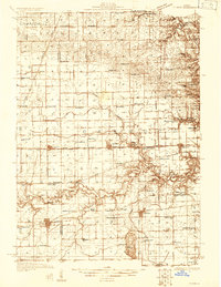
1931 · Fithian
USGS Topo · 1:48,000
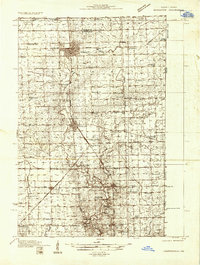
1933 · Hoopeston
USGS Topo · 1:48,000
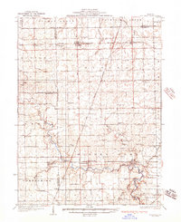
1936 · Potomac
USGS Topo · 1:62,500
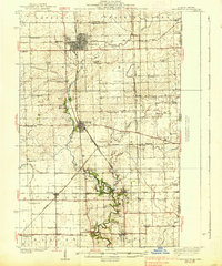
1938 · Hoopeston
USGS Topo · 1:62,500
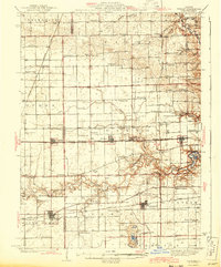
1943 · Fithian
USGS Topo · 1:62,500
1948 · Danville NW
USGS Topo · 1:24,000
1950 · Danville NW
USGS Topo · 1:24,000
1950 · Danville NE
USGS Topo · 1:24,000