
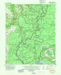
1939 Map of Henrico
USGS Topo · Published 1941About this map
The confluence of the White River and the Mississippi River dominates this delta landscape, defined by an intricate network of meanders, chutes, and oxbow lakes. Much of the riverfront is protected within the White River Migratory Waterfowl Refuge, where the shifting hydrology is marked by points such as Jackass Point and Wamac Point. Small river settlements and landings like Henrico and Lagrue Springs serve as focal points for local history, connected by the Missouri Pacific railroad line cutting through the southern bottomlands.
Find a feature on this map
78 named features on this map. Tap any name to fly to it.
Don’t see what you’re looking for? This feature index may not catch every label — zoom into the map to look around manually.
Map Details
Editions of this 1939 Henrico Map
2 editions found
Other maps of this area

1930 · Mellwood
USGS Topo · 1:62,500

1935 · Red Fork
USGS Topo · 1:62,500

1935 · Gillett
USGS Topo · 1:62,500

1939 · Modoc
USGS Topo · 1:62,500

1939 · Indian Bay
USGS Topo · 1:62,500

1939 · Pace
USGS Topo · 1:62,500

1939 · Big Island
USGS Topo · 1:62,500

1939 · Mellwood
USGS Topo · 1:62,500

1941 · De Witt
USGS Topo · 1:62,500

1948 · Helena
USGS Topo · 1:250,000