
1957 Map of Henrietta
USGS Topo · Published 1958About this map
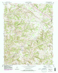
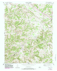
The rolling landscape of Tennessee's rural borderlands between Montgomery and Cheatham counties is captured here in the late 1950s. Centered on the community of Henrietta, the terrain is defined by a dense network of family-named landmarks and local institutions, such as the County Home for the Indigent and churches including Waltons Chapel and McAdoo Ch. The map reveals a transition in transportation, showing the established Clarksville Pike alongside sections of roadway marked as Under Construction. Numerous family cemeteries like Hollis-Nanny Cem, Gupton Cem, and Jarrell Cem provide critical data for genealogical research, while watercourses like Half Pone Creek and Sorghum Branch illustrate the area's natural drainage patterns before modern development altered the rural character of these crossroads.
Find a feature on this map
47 named features on this map. Tap any name to fly to it.
Don’t see what you’re looking for? This feature index may not catch every label — zoom into the map to look around manually.
Map Details
Editions of this 1957 Henrietta Map
3 editions found
Other maps of this area

1944 · Clarksville
USGS Topo · 1:50,000

1951 · Clarksville
USGS Topo · 1:24,000

1956 · Nashville
USGS Topo · 1:250,000

1957 · Cheatham Dam
USGS Topo · 1:24,000

1957 · Adams
USGS Topo · 1:24,000

1957 · Pleasant View
USGS Topo · 1:24,000

1957 · Ashland City
USGS Topo · 1:24,000

1957 · Sango
USGS Topo · 1:24,000

1957 · Clarksville
USGS Topo · 1:24,000
1957 · Clarksville
USGS Topo · 1:62,500