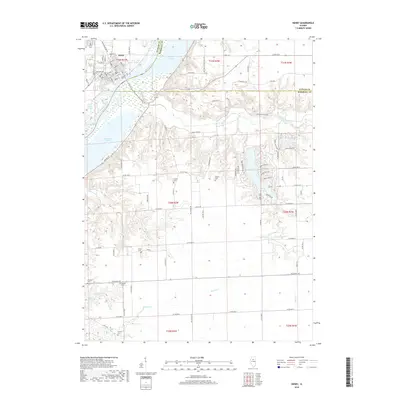
2018 Map of Henry
USGS Topo · Published 2018About this map
The Illinois River dictates the landscape of this Marshall County region, carving a wide valley that separates the city of Henry from the eastern uplands. The river is flanked by numerous backwater features such as Sawmill Lake, Whitney Lake, and Billsbach Lake, reflecting a dynamic riparian environment. Along the western bank, the grid of Henry is well-defined, showing residential expansion between Western Ave and the riverfront.
Find a feature on this map
90 named features on this map. Tap any name to fly to it.
Don’t see what you’re looking for? This feature index may not catch every label — zoom into the map to look around manually.
Map Details
Editions of this 2018 Henry Map
This is the sole edition of this map. No revisions or reprints were ever made.
Other maps of this area

1893 · Lacon
USGS Topo · 1:62,500

1893 · Metamora
USGS Topo · 1:62,500

1933 · Lacon
USGS Topo · 1:62,500

1934 · Wenona
USGS Topo · 1:48,000

1937 · Metamora
USGS Topo · 1:62,500

1937 · Lacon
USGS Topo · 1:62,500

1939 · Wenona
USGS Topo · 1:62,500

1948 · Metamora
USGS Topo · 1:62,500

1955 · Minonk
USGS Topo · 1:62,500

1958 · Aurora
USGS Topo · 1:250,000