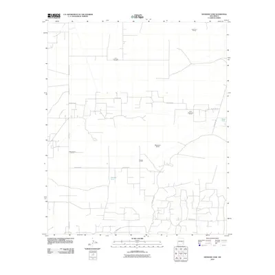
2010 Map of Henshaw Tank
USGS Topo · Published 2010About this map
Mescalero Sands dominates this landscape in Chaves County, revealing a region defined by its subsurface mineral wealth and specialized desert infrastructure. The map depicts a sophisticated network of oil production facilities, including the Cedar Point Oil Field in the north and the West Henshaw Oil Field to the west. These industrial zones are connected by a grid of rural thoroughfares such as Hagerman Cutoff Rd and Square Lake Rd, which provide access to essential water management features like Henshaw Tank and Bogle Tank. The concentration of named sites like the Little Lucky Lakes Oil Field and North Square Lake Oil Field illustrates the intensive energy development characterizing this part of New Mexico during the early 21st century.
Find a feature on this map
15 named features on this map. Tap any name to fly to it.
Don’t see what you’re looking for? This feature index may not catch every label — zoom into the map to look around manually.
Map Details
Editions of this 2010 Henshaw Tank Map
This is the sole edition of this map. No revisions or reprints were ever made.
Other maps of this area

1951 · King Camp
USGS Topo · 1:24,000

1953 · Basin Well
USGS Topo · 1:24,000

1954 · Carlsbad
USGS Topo · 1:250,000

1954 · Hobbs
USGS Topo · 1:250,000

1954 · Brownfield
USGS Topo · 1:250,000

1955 · Red Lake SE
USGS Topo · 1:24,000

1955 · Roswell
USGS Topo · 1:250,000

1958 · Carlsbad
USGS Topo · 1:250,000

1958 · Brownfield
USGS Topo · 1:250,000

1958 · Roswell
USGS Topo · 1:250,000