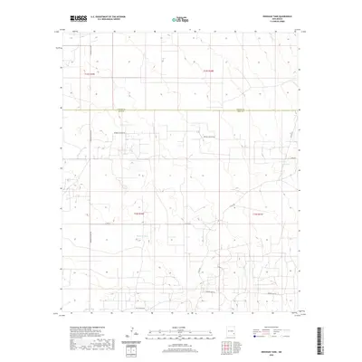
2020 Map of Henshaw Tank
USGS Topo · Published 2020About this map
The dry ranchlands straddling the Chaves County and Eddy County line are defined here by a network of named stock tanks and local roads in southeastern New Mexico. Henshaw Tank and Bogle Tank serve as primary landmarks in a landscape otherwise dominated by section lines and small-scale infrastructure. The road network reveals the local utility of the area, with names like Goat Ropers Rd, Booger Langton Rd, and E Square Lake Rd providing a clear sense of the rural culture and grazing economy. This 2020 survey also captures the Hagerman Cutoff Rd, reflecting a transportation pattern that likely persists from earlier ranching eras, connecting this remote interior with the broader Pecos Valley region.
Find a feature on this map
15 named features on this map. Tap any name to fly to it.
Don’t see what you’re looking for? This feature index may not catch every label — zoom into the map to look around manually.
Map Details
Editions of this 2020 Henshaw Tank Map
This is the sole edition of this map. No revisions or reprints were ever made.
Other maps of this area

1951 · King Camp
USGS Topo · 1:24,000

1953 · Basin Well
USGS Topo · 1:24,000

1954 · Carlsbad
USGS Topo · 1:250,000

1954 · Hobbs
USGS Topo · 1:250,000

1954 · Brownfield
USGS Topo · 1:250,000

1955 · Red Lake SE
USGS Topo · 1:24,000

1955 · Roswell
USGS Topo · 1:250,000

1958 · Carlsbad
USGS Topo · 1:250,000

1958 · Brownfield
USGS Topo · 1:250,000

1958 · Roswell
USGS Topo · 1:250,000