Loading...
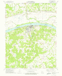
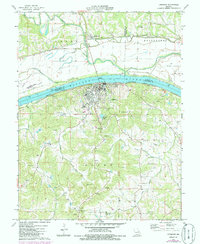
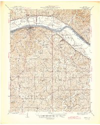
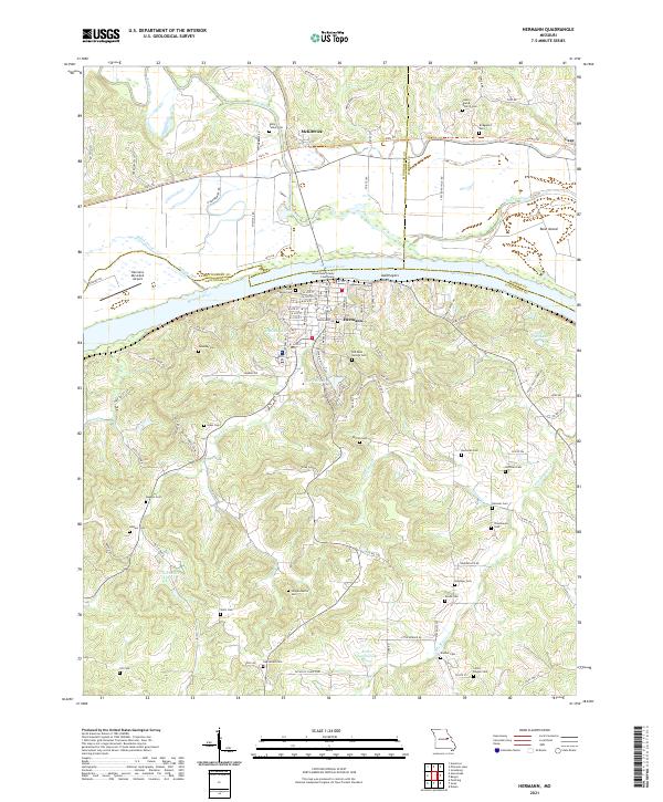
Loading map...1974 Map of Hermann
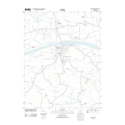
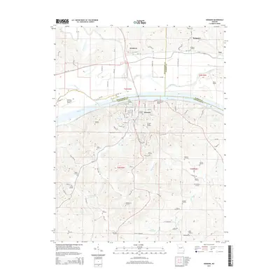
USGS Topo · Published 1975About this map
The Missouri River and its wide floodplains dominate this mid-1970s landscape, flanked by intensive levee systems and the river-bottom settlement of McKittrick. To the south, the city of Hermann rises into the hills, marked by institutional landmarks like St George Ch and the Old St George Cem. The map illustrates the region's complex relationship with the water, showing Mc Girk Island and Rush Island partitioned by the Pacific and Missouri Kansas Texas railroads.
Find a feature on this map
61 named features on this map. Tap any name to fly to it.
Don’t see what you’re looking for? This feature index may not catch every label — zoom into the map to look around manually.
Map Details
Date Portrayed1974
Date Published1975
PublisherU.S. Geological Survey
Map TypeTopographic
Scale1:24,000
Physical Dimensions21.9 x 26.7 inches
Editions of this 1974 Hermann Map
2 editions found
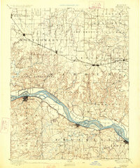
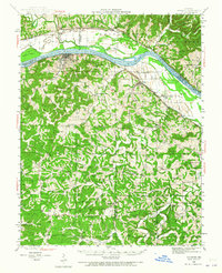
Historical Maps of Hermann Through Time
9 maps found

Featured Locations
Source Details
SourceU.S. Geological Survey
CopyrightPublic Domain