
Loading...
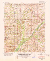
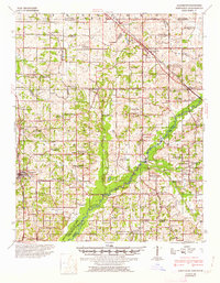
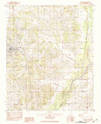
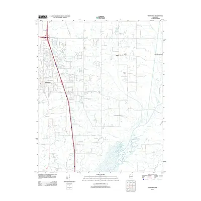
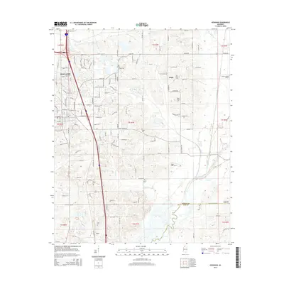
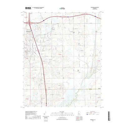
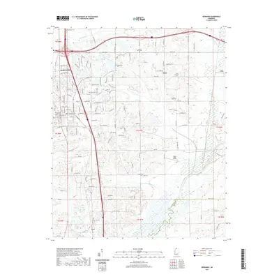
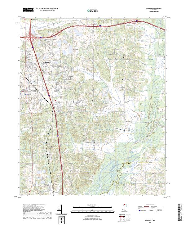
Loading map...1944 Map of Hernando
USGS Topo · Published 1960About this map
The Illinois Central RR and the St Louis-San Francisco RR anchor the transport network of northern Mississippi in the mid-1940s, connecting the region through Hernando and Olive Branch. The southern portion of the landscape is dominated by the Arkabutla Reservoir along the Coldwater River, illustrating the results of mid-century flood control projects that reshaped the local topography near the DeSoto and Tate County line.
Find a feature on this map
112 named features on this map. Tap any name to fly to it.
Don’t see what you’re looking for? This feature index may not catch every label — zoom into the map to look around manually.
Map Details
Date Portrayed1944
Date Published1960
PublisherU.S. Geological Survey
Map TypeTopographic
Scale1:62,500
Physical Dimensions16.9 x 21.9 inches
Editions of this 1944 Hernando Map
3 editions found
Historical Maps of Memphis Through Time
7 maps found
Featured Locations
Source Details
SourceU.S. Geological Survey
CopyrightPublic Domain