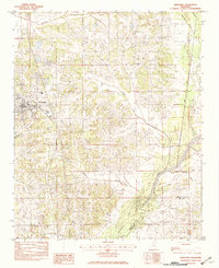
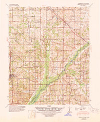
1944 Map of Hernando
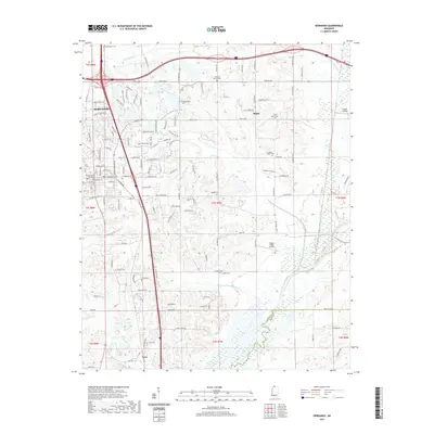
USGS Topo · Published 1963About this map
Hernando serves as the focal point of this 1944 Corps of Engineers survey, situated at the intersection of the St Louis - San Francisco Railway and the Memphis and Vicksburg route. The landscape is defined by the early footprint of the Arkabutla Reservoir along the Coldwater River, showing the impact of the Flood Control Act of 1944 on the topography of northern Mississippi. A dense network of rural infrastructure is documented, from the cluster at Cockrum to the scattered schools like Kelly School and Kelsey School. For genealogists, the map is remarkably specific, identifying dozens of family-linked sites such as the Drain Family Cem, Cowan Cem, and Winborn Cem. The presence of Mineral Wells in the north suggests the region's historical reliance on local springs, while the numerous combined church-and-school labels like Enon Springs Ch Sch & Cem highlight the civic centers of these rural DeSoto County communities.
Find a feature on this map
111 named features on this map. Tap any name to fly to it.
Don’t see what you’re looking for? This feature index may not catch every label — zoom into the map to look around manually.
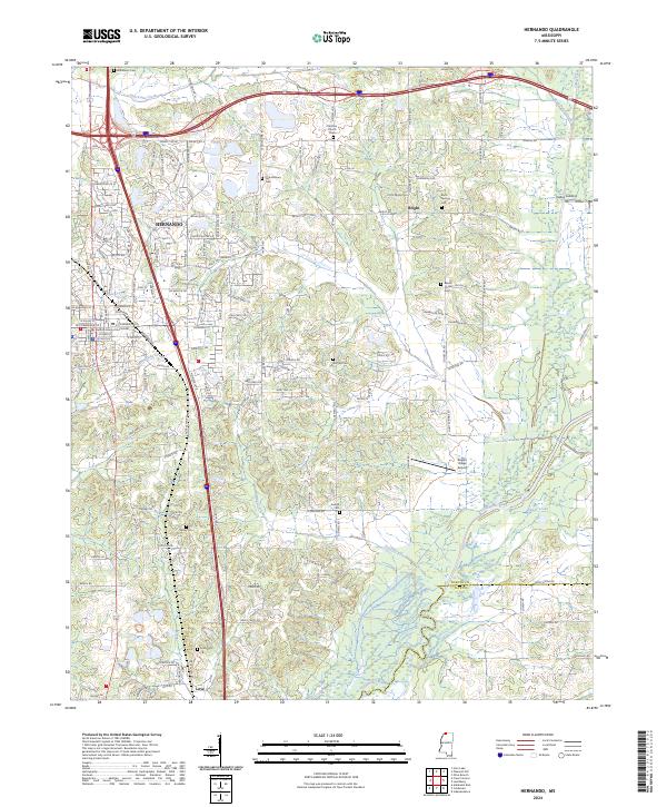
Map Details
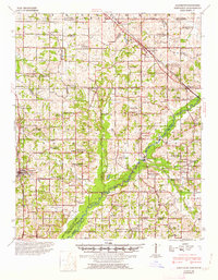
Editions of this 1944 Hernando Map
3 editions found

Historical Maps of Memphis Through Time
7 maps found