Loading...
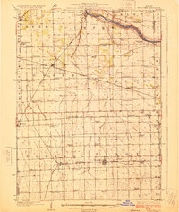
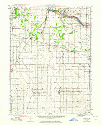
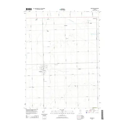
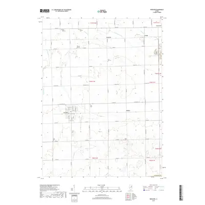
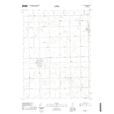
Loading map...1925 Map of Herscher
USGS Topo · Published 1925About this map
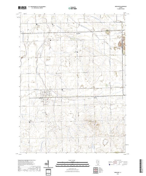
Kankakee River winds across the northern reaches of this rural landscape, serving as a natural boundary for Wesley and Rockville townships. The interior is defined by a dense grid of township roads and an extensive collection of one-room schoolhouses, including Pilot Center School, Grey School, and Mosier School, which served the scattered farming families of the 1920s. Industrial activity is anchored by the Lehigh Stone Co Quarry near Lehigh, illustrating the importance of local geology to the regional economy.
Find a feature on this map
75 named features on this map. Tap any name to fly to it.
Don’t see what you’re looking for? This feature index may not catch every label — zoom into the map to look around manually.
Map Details
Date Portrayed1925
Date Published1925
PublisherU.S. Geological Survey
Map TypeTopographic
Scale1:62,500
Physical Dimensions16.4 x 19.5 inches
Editions of this 1925 Herscher Map
2 editions found

Historical Maps of Braidwood Through Time
8 maps found
Featured Locations
Source Details
SourceU.S. Geological Survey
CopyrightPublic Domain