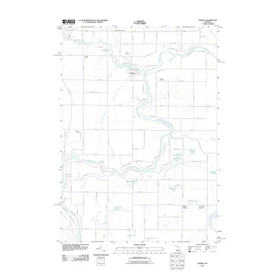
2011 Map of Hersey
USGS Topo · Published 2011About this map
The confluence of the Hersey River and the Muskegon River serves as the focal point of this Osceola County landscape, where the village of Hersey is positioned along the riverbank. This 2011 survey reveals a settlement pattern heavily influenced by these waterways and the local road grid, with the Hersey Post Office serving as a central landmark for the community. The northern reaches include recreational and seasonal spaces like the Spring Valley Golf Course and Albright Camp, while the broader terrain is dotted with numerous small lakes such as Big Stone Lake and Blodgett Lake. Local genealogy and land use are well-documented through several established burial grounds, including Bitner Cemetery, Oakdale Cemetery, and Crapo Cemetery. In the southeastern corner, the small community of Grant Center appears near the Grant Center Number One Cemetery, illustrating the persistent rural network of small towns and family-named landmarks that define this portion of Michigan.
Find a feature on this map
71 named features on this map. Tap any name to fly to it.
Don’t see what you’re looking for? This feature index may not catch every label — zoom into the map to look around manually.
Map Details
Editions of this 2011 Hersey Map
This is the sole edition of this map. No revisions or reprints were ever made.
Other maps of this area

1931 · Chase NE
USGS Topo · 1:31,680

1954 · Midland
USGS Topo · 1:250,000

1958 · Midland
USGS Topo · 1:250,000

1958 · Woodville
USGS Topo · 1:62,500

1958 · Big Rapids
USGS Topo · 1:62,500

1959 · Midland
USGS Topo · 1:250,000

1959 · Evart
USGS Topo · 1:62,500

1959 · Reed City
USGS Topo · 1:62,500

1966 · Midland
USGS Topo · 1:250,000

1976 · Evart SW
USGS Topo · 1:24,000