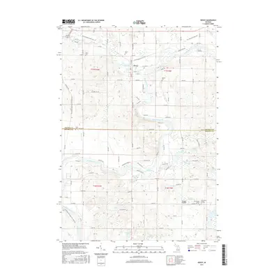
2017 Map of Hersey
USGS Topo · Published 2017About this map
Hersey and the village of Grant Center serve as the primary focal points of this northern Michigan landscape, where the confluence of the Hersey River and the Muskegon River dictates the local topography. This region, straddling the border of Osceola and Mecosta counties, exhibits a transition from river-bottom wetlands to upland plateaus. The presence of numerous burial grounds, including Hersey Cem, Oakdale Cem, and the dual Grant Center Number One and Two cemeteries, provides significant material for genealogical research. The map also highlights a network of repurposed corridors like the Pere Marquette State Trail and the White Pine Trl, which follow the paths of former rail lines that once moved timber and agricultural goods through the area. Smaller water bodies such as Browns Lake, Bevens Lake, and House Lake dot the southern half of the quadrangle.
Find a feature on this map
64 named features on this map. Tap any name to fly to it.
Don’t see what you’re looking for? This feature index may not catch every label — zoom into the map to look around manually.
Map Details
Editions of this 2017 Hersey Map
This is the sole edition of this map. No revisions or reprints were ever made.
Other maps of this area

1931 · Chase NE
USGS Topo · 1:31,680

1954 · Midland
USGS Topo · 1:250,000

1958 · Midland
USGS Topo · 1:250,000

1958 · Woodville
USGS Topo · 1:62,500

1958 · Big Rapids
USGS Topo · 1:62,500

1959 · Midland
USGS Topo · 1:250,000

1959 · Evart
USGS Topo · 1:62,500

1959 · Reed City
USGS Topo · 1:62,500

1966 · Midland
USGS Topo · 1:250,000

1976 · Evart SW
USGS Topo · 1:24,000