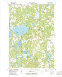
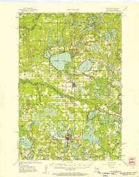
1982 Map of Hertel
USGS Topo · Published 1983About this map
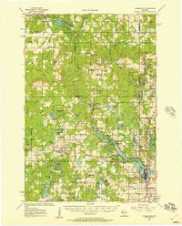
The St Croix Indian Reservation occupies a significant portion of this Burnett County landscape, centered around the settlement of Hertel. The area is defined by a dense network of glacial lakes and waterways, most notably the expansive Big Sand Lake and the winding Yellow River in the north. This 1982 survey reveals a rural economy and lifestyle deeply tied to the natural environment, indicated by the Spring Brook Springs State Fishery Area and the Clam River State Fishery Area. Cultural and family history is anchored at sites like Big Sand Lake Cem and the Lakeview Ch near Bashaw Lake. The presence of Cranberry Lake and local cranberry bogs highlights specialized agricultural use of the wetlands, while timber and gravel resources are evidenced by scattered forest roads and a Gravel Pit.
Find a feature on this map
39 named features on this map. Tap any name to fly to it.
Don’t see what you’re looking for? This feature index may not catch every label — zoom into the map to look around manually.
Map Details
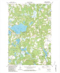
Editions of this 1982 Hertel Map
2 editions found
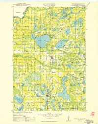
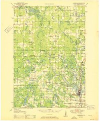
Other maps of this area

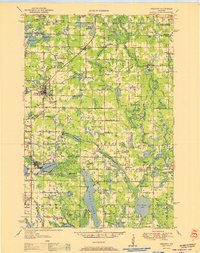
1949 · Hertel
USGS Topo · 1:48,000
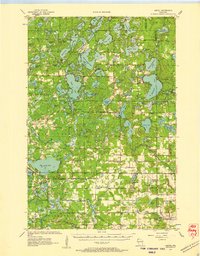
1950 · Webster
USGS Topo · 1:48,000
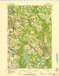
1951 · Cumberland
USGS Topo · 1:48,000
1951 · Frederic
USGS Topo · 1:48,000

1953 · Stillwater
USGS Topo · 1:250,000
1955 · Hertel
USGS Topo · 1:62,500
1955 · Webster
USGS Topo · 1:62,500
1955 · Frederic
USGS Topo · 1:62,500

1955 · Stillwater
USGS Topo · 1:250,000
1956 · Cumberland
USGS Topo · 1:62,500