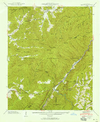
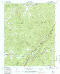
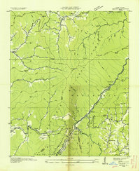
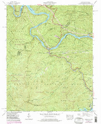
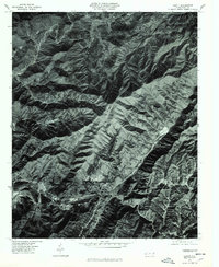
1940 Map of Hewitt
USGS Topo · Published 1958This historical map portrays the area of Hewitt in 1940, primarily covering Graham County as well as portions of Swain County, Macon County, and Cherokee County. Featuring a scale of 1:24000, this map provides a highly detailed snapshot of the terrain, roads, buildings, counties, and historical landmarks in the Hewitt region at the time. Published in 1958, it is one of 6 known editions of this map due to revisions or reprints.
Find a feature on this map
105 named features on this map. Tap any name to fly to it.
Don’t see what you’re looking for? This feature index may not catch every label — zoom into the map to look around manually.
Map Details
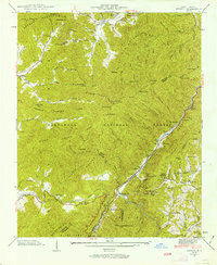
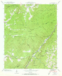
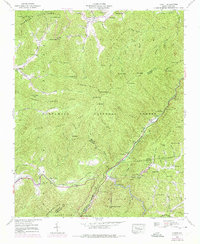
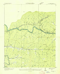
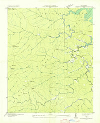
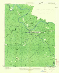
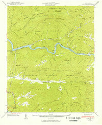
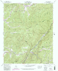
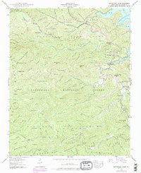
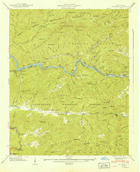
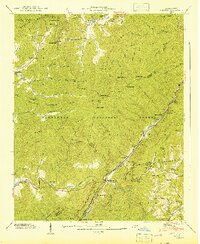
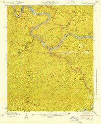
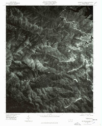
Editions of this 1940 Hewitt Map
6 editions found
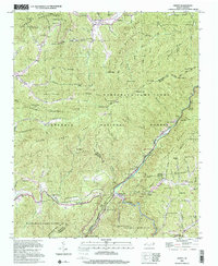
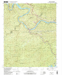
Historical Maps of Cheoah Through Time
15 maps found
1935 Fontana
Graham County, NC
1935 Santeetlah Creek
Graham County, NC
1935 Tapoco
Graham County, NC
1936 Hewitt
Graham County, NC
1940 Fontana
Graham County, NC
1940 Hewitt
Graham County, NC
1940 Santeetlah Creek
Graham County, NC
1940 Tapoco
Graham County, NC
1941 Fontana
Graham County, NC
1941 Hewitt
Graham County, NC
1941 Tapoco
Graham County, NC
1976 Hewitt
Graham County, NC
1976 Santeetlah Creek
Graham County, NC
2000 Hewitt
Graham County, NC
2000 Tapoco
Graham County, NC