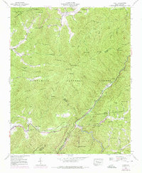
1940 Map of Hewitt
USGS Topo · Published 1975About this map
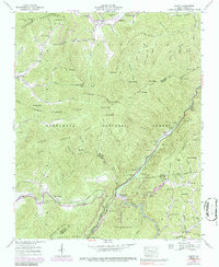
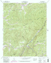
The Nantahala National Forest landscape shown here reflects the complex meeting of industrial infrastructure and mountain settlement in the 1940s. The Nantahala River serves as the primary corridor for both the Southern RR and the energy operations of the Nantahala Power and Light Co, which maintains a Surge Chamber and Gaging Station near Beechertown. While the river gorge is dedicated to transport and power, the surrounding ridges like the Cheoah Mountains and Snowbird Mts hold isolated communities. Significant genealogical markers are concentrated around Stecoah, including Stecoah Ch, Randolph Cem, and Jenkins Cem. The map also traces a primitive segment of the Appalachian Trail as it crosses Stecoah Gap and winds toward Cheoah Bald, illustrating the early recreational development of the Great Smokies region.
Find a feature on this map
81 named features on this map. Tap any name to fly to it.
Don’t see what you’re looking for? This feature index may not catch every label — zoom into the map to look around manually.
Map Details
Editions of this 1940 Hewitt Map
6 editions found
Other maps of this area

1933 · Bushnell
USGS Topo · 1:62,500

1935 · Robbinsville
USGS Topo · 1:24,000

1935 · Fontana
USGS Topo · 1:24,000

1935 · Burningtown Bald
USGS Topo · 1:24,000

1935 · Topton
USGS Topo · 1:24,000

1935 · Wayah Bald
USGS Topo · 1:48,000

1935 · Andrews
USGS Topo · 1:24,000

1936 · Proctor
USGS Topo · 1:24,000

1936 · Wesser
USGS Topo · 1:24,000
1936 · Hewitt
USGS Topo · 1:24,000