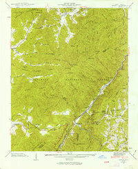
1940 Map of Hewitt
USGS Topo · Published 1963About this map
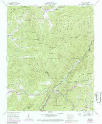
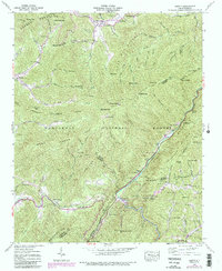
The Nantahala Mountains and Cheqah Mountains dominate this 1940 survey of the borderlands between Graham, Swain, Macon, and Cherokee counties. Small settlements like Stecoah and Hewitt are pockets of activity in a landscape defined by sharp elevation changes and deep gaps. Local heritage is preserved through the location of the Rowlin Sch, Stecoah Ch, and several family burial grounds including Randolph Cem and Jenkins Cem. Transportation patterns of the era are visible in the path of the Southern Railway following the river and the early route of the Appalachian Trail as it traverses ridges like Franks Creek Lead. A notable engineering detail is the hydro-electric tunnel (under construction) near Beechertown, signaling the expansion of power infrastructure within the Nantahala National Forest during the mid-twentieth century.
Find a feature on this map
144 named features on this map. Tap any name to fly to it.
Don’t see what you’re looking for? This feature index may not catch every label — zoom into the map to look around manually.
Map Details
Editions of this 1940 Hewitt Map
6 editions found
Other maps of this area

1933 · Bushnell
USGS Topo · 1:62,500

1935 · Robbinsville
USGS Topo · 1:24,000

1935 · Fontana
USGS Topo · 1:24,000

1935 · Burningtown Bald
USGS Topo · 1:24,000

1935 · Topton
USGS Topo · 1:24,000

1935 · Wayah Bald
USGS Topo · 1:48,000

1935 · Andrews
USGS Topo · 1:24,000

1936 · Proctor
USGS Topo · 1:24,000

1936 · Wesser
USGS Topo · 1:24,000
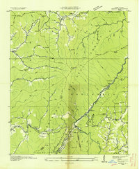
1936 · Hewitt
USGS Topo · 1:24,000