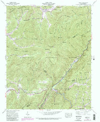
1940 Map of Hewitt
USGS Topo · Published 1991About this map
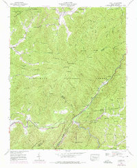
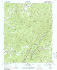
The Nantahala River carves through this portion of the Nantahala National Forest, where the Tennessee Valley Authority and USGS recorded the terrain during the early 1940s. The landscape is defined by the steep elevation of the Cheoah Mountains and Snowbird Mts, with the Appalachian Trail traversing ridgelines through Sassafras Gap and Stecoah Gap. Local life centered around small settlements like Stecoah, Beechertown, and Hidetown, with several family burial grounds including Randolph Cem and Jenkins Cem established in the valleys.
Find a feature on this map
69 named features on this map. Tap any name to fly to it.
Don’t see what you’re looking for? This feature index may not catch every label — zoom into the map to look around manually.
Map Details
Editions of this 1940 Hewitt Map
6 editions found
Other maps of this area

1933 · Bushnell
USGS Topo · 1:62,500

1935 · Robbinsville
USGS Topo · 1:24,000

1935 · Fontana
USGS Topo · 1:24,000

1935 · Burningtown Bald
USGS Topo · 1:24,000

1935 · Topton
USGS Topo · 1:24,000

1935 · Wayah Bald
USGS Topo · 1:48,000

1935 · Andrews
USGS Topo · 1:24,000

1936 · Proctor
USGS Topo · 1:24,000

1936 · Wesser
USGS Topo · 1:24,000
1936 · Hewitt
USGS Topo · 1:24,000