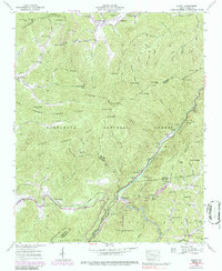
1940 Map of Hewitt
USGS Topo · Published 1986About this map
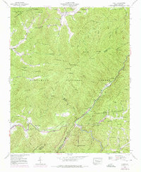
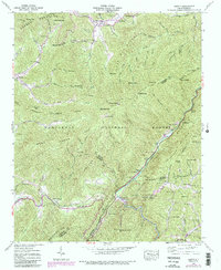
The Nantahala National Forest dominates this topographic survey, revealing the remote settlements and rugged terrain of the North Carolina mountains during the mid-20th century. High ridges like the Cheoah Mountains and Snowbird Mts define the horizon, while the iconic Appalachian Trail snakes across the high ground through Stecoah Gap and past Cheoah Bald. In the valleys, the Southern RR follows the steep corridor of the Nantahala River, providing a vital transport link for the small community at Hewitt. Local life is anchored by family landmarks and civic outposts like Randolph Cem and the Rowlin Sch, while a Gaging Station on the river monitors the hydrology of this steep-sided drainage system. The map captures a landscape where the transition from traditional Appalachian subsistence to managed forestry and recreation is clearly visible in the scattered coves and mountain gaps.
Find a feature on this map
99 named features on this map. Tap any name to fly to it.
Don’t see what you’re looking for? This feature index may not catch every label — zoom into the map to look around manually.
Map Details
Editions of this 1940 Hewitt Map
6 editions found
Other maps of this area

1933 · Bushnell
USGS Topo · 1:62,500

1935 · Robbinsville
USGS Topo · 1:24,000

1935 · Fontana
USGS Topo · 1:24,000

1935 · Burningtown Bald
USGS Topo · 1:24,000

1935 · Topton
USGS Topo · 1:24,000

1935 · Wayah Bald
USGS Topo · 1:48,000

1935 · Andrews
USGS Topo · 1:24,000

1936 · Proctor
USGS Topo · 1:24,000

1936 · Wesser
USGS Topo · 1:24,000
1936 · Hewitt
USGS Topo · 1:24,000