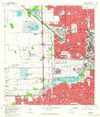
1962 Map of Hialeah
USGS Topo · Published 1964About this map
Miami International Airport and the sprawling rail infrastructure of the Seaboard Air Line and Florida East Coast dominate this mid-century Florida landscape. The map captures a period of intense post-war development, where suburban expansion in Hialeah Gardens and Sun Tan Village contrasts with industrial borrow pits and the Miami City Stockade. Along the Tamiami Canal and the Tamiami Trail, the southern portion of the sheet reveals established communities like West Miami and Flagami, densely packed with neighborhood schools including Sylvania Heights Sch and Fairlawn Sch. This 1962 revision highlights the extensive water management system of the Little River Canal and Blue Lagoon during an era when the Palmetto Expressway was reshaping regional connectivity.
Find a feature on this map
85 named features on this map. Tap any name to fly to it.
Don’t see what you’re looking for? This feature index may not catch every label — zoom into the map to look around manually.
Map Details
Editions of this 1962 Hialeah Map
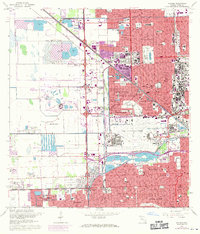
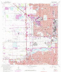
3 editions found
Other maps of this area

1947 · North Miami
USGS Topo · 1:24,000

1947 · Key Biscayne
USGS Topo · 1:24,000

1949 · Opalocka
USGS Topo · 1:24,000

1949 · South Miami NW
USGS Topo · 1:24,000

1949 · Key Biscayne
USGS Topo · 1:24,000

1950 · Hialeah
USGS Topo · 1:24,000

1950 · Miami
USGS Topo · 1:24,000

1950 · North Miami
USGS Topo · 1:24,000

1950 · South Miami
USGS Topo · 1:24,000

1955 · South Miami NW
USGS Topo · 1:24,000