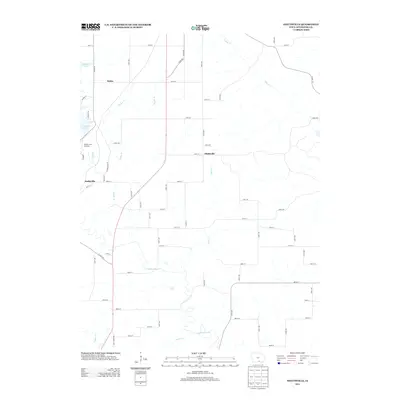
2013 Map of Hiattsville
USGS Topo · Published 2013About this map
Hiattsville and Darbyville sit within this Appanoose County landscape, where the southern reaches of Rathbun Lake give way to a network of creeks and the meandering Chariton River. The topography is defined by the sharp transition from the lake's eastern shore to the structured agricultural grid, featuring landmarks like the Rathbun Fish Hatchery located just south of the water. Small settlements like Maine are scattered throughout a terrain carved by numerous tributaries including Snyder Br, Snort Cr, and S Soap Cr. The map captures a moment in the early 21st century where modern lake-related infrastructure, such as Crappie Cir and Marina Pl, exists alongside long-established rural routes like Boyer Ridge Rd. This interplay between water management and rural settlement shows the contemporary character of the Chariton River valley before it crosses into the southern townships.
Find a feature on this map
65 named features on this map. Tap any name to fly to it.
Don’t see what you’re looking for? This feature index may not catch every label — zoom into the map to look around manually.
Map Details
Editions of this 2013 Hiattsville Map
This is the sole edition of this map. No revisions or reprints were ever made.
Other maps of this area

1939 · Centerville
USGS Topo · 1:62,500

1939 · Mystic
USGS Topo · 1:62,500

1941 · Centerville
USGS Topo · 1:62,500

1942 · Mystic
USGS Topo · 1:62,500

1954 · Centerville
USGS Topo · 1:250,000

1957 · Centerville
USGS Topo · 1:250,000

1958 · Centerville
USGS Topo · 1:250,000

1966 · Hiattsville
USGS Topo · 1:24,000
1966 · Mystic
USGS Topo · 1:24,000

1968 · Unionville
USGS Topo · 1:24,000