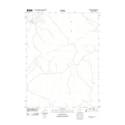
2011 Map of Hiawatha
USGS Topo · Published 2011About this map
Hiawatha sits at the northern edge of Moffat County, Colorado, just south of the Wyoming border, where high desert plateaus meet rugged drainages. This 2011 survey documents a landscape primarily defined by utility and resource extraction, notably marked by the Olds Claim Group in the southeast. The settlement itself is centered at the junction of several arterial routes, including County Rd 4 and County Rd 4-S, which navigate the arid terrain.
Find a feature on this map
8 named features on this map. Tap any name to fly to it.
Don’t see what you’re looking for? This feature index may not catch every label — zoom into the map to look around manually.
Map Details
Editions of this 2011 Hiawatha Map
This is the sole edition of this map. No revisions or reprints were ever made.
Other maps of this area

1954 · Vernal
USGS Topo · 1:250,000

1954 · Rock Springs
USGS Topo · 1:250,000

1958 · Vernal
USGS Topo · 1:250,000

1958 · Rock Springs
USGS Topo · 1:250,000

1960 · Vernal
USGS Topo · 1:250,000

1962 · Rock Springs
USGS Topo · 1:250,000

1966 · G Spring
USGS Topo · 1:24,000

1966 · Sugarloaf Butte
USGS Topo · 1:24,000

1966 · Irish Canyon
USGS Topo · 1:24,000

1966 · Hiawatha
USGS Topo · 1:24,000