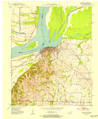
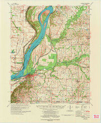
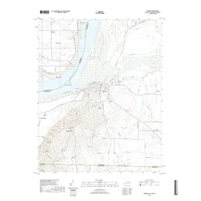
1939 Map of Hickman
USGS Topo · Published 1947About this map
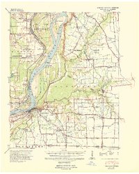
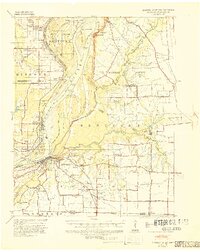
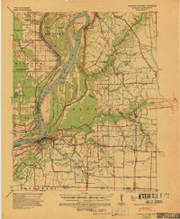
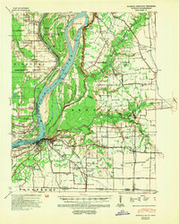
Hickman serves as the focal point for this 1939 survey, situated at a dramatic elbow of the Mississippi River where the Hickman Bend and Beckwith Bend define the shifting border between Kentucky and Missouri. The landscape is a complex network of river engineering and rural settlements, featuring the Reelfoot Front Revetment and a Sea Wall protecting the town from the river's force. The inland areas of Fulton County are densely dotted with small community centers, often centered around combined institutions like the Sassafras Ridge Ch and Sch or the Locust Grove Ch & Sch.
Find a feature on this map
76 named features on this map. Tap any name to fly to it.
Don’t see what you’re looking for? This feature index may not catch every label — zoom into the map to look around manually.
Map Details
Editions of this 1939 Hickman Map
4 editions found
Historical Maps of Hickman Through Time
11 maps found
1939 Hickman
Fulton County, KY
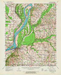
1951 Hickman
Fulton County, KY
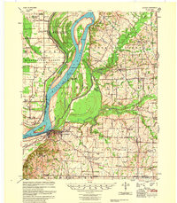
1954 Hickman
Fulton County, KY
1955 Hickman
Fulton County, KY
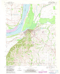
1970 Hickman
Fulton County, KY
1972 Hickman
Fulton County, KY
2010 Hickman
Fulton County, KY
2013 Hickman
Fulton County, KY
2016 Hickman
Fulton County, KY
2019 Hickman
Fulton County, KY
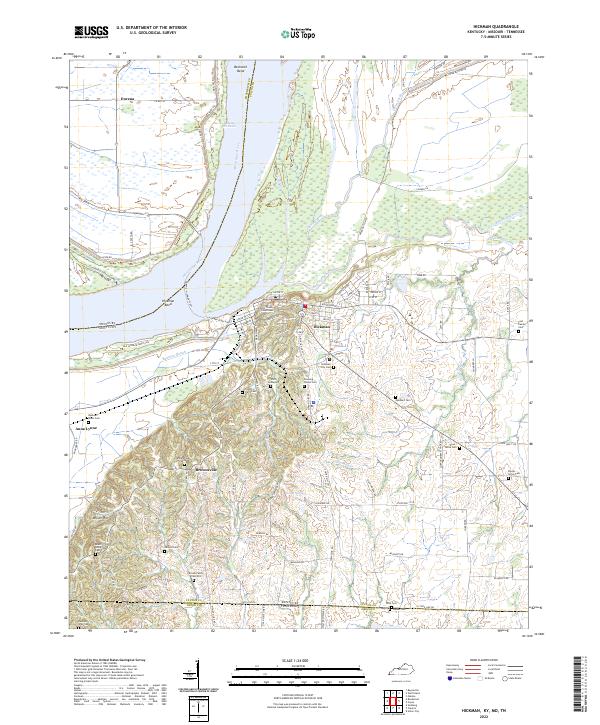
2022 Hickman
Fulton County, KY