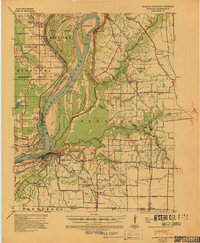
1939 Map of Hickman
USGS Topo · Published 1941About this map
Hickman serves as the focal point for this survey of the Mississippi River valley as it appeared just before the mid-century, where the borders of Kentucky, Missouri, and Tennessee meet at the water's edge. The river's shifting nature is evident in the complex system of meanders and river-control infrastructure, including the Hickman Revetment and Reelfoot Front Revetment. High ground at Chalk Bluff and the Central Bluff provides a sharp contrast to the low-lying alluvial plains and marshes like Little Eagle Pond. This 1939 era landscape is densely populated with community landmarks, featuring an extensive network of rural education and worship such as Sassafras Ridge Ch, Stubbs Sch, and the Locust Grove Ch & Sch. Notable archaeological and early infrastructure markers, such as the Indian Mound and the Hickman-Fulton Co Rural Electric Co-op lines, illustrate the long history of human occupation along these fertile banks.
Find a feature on this map
77 named features on this map. Tap any name to fly to it.
Don’t see what you’re looking for? This feature index may not catch every label — zoom into the map to look around manually.
Map Details
Editions of this 1939 Hickman Map
4 editions found
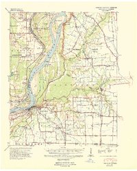
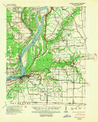
Other maps of this area

1925 · Reelfoot Lake
USGS Topo · 1:62,500

1939 · Wickliffe
USGS Topo · 1:62,500

1939 · Reelfoot Lake
USGS Topo · 1:62,500

1939 · Charleston
USGS Topo · 1:62,500

1939 · Hickman
USGS Topo · 1:62,500

1939 · Bayouville
USGS Topo · 1:62,500

1951 · Cayce
USGS Topo · 1:24,000

1951 · Bondurant
USGS Topo · 1:24,000

1951 · Oakton
USGS Topo · 1:24,000

1951 · Hickman
USGS Topo · 1:24,000