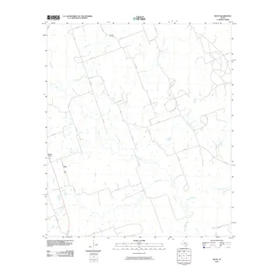
2010 Map of Hicks
USGS Topo · Published 2010About this map
Hicks and Forest Grove anchor this pocket of Lee County, where the landscape is defined by the dendritic drainage patterns of East Yegua Creek and its many tributaries. The area maintains a rural character dominated by ranching and resource extraction, notably evidenced by the Hicks Mine and the presence of Oil Field Rd in the northeastern quadrant. Local heritage is preserved at the Harmony Cemetery, situated along the northern reaches of the quadrangle near Reece Creek.
Find a feature on this map
39 named features on this map. Tap any name to fly to it.
Don’t see what you’re looking for? This feature index may not catch every label — zoom into the map to look around manually.
Map Details
Editions of this 2010 Hicks Map
This is the sole edition of this map. No revisions or reprints were ever made.
Other maps of this area

1885 · Taylor
USGS Topo · 1:125,000

1885 · Bastrop
USGS Topo · 1:125,000

1887 · Taylor
USGS Topo · 1:125,000

1893 · Bastrop
USGS Topo · 1:125,000

1894 · Taylor
USGS Topo · 1:125,000

1904 · Bastrop
USGS Topo · 1:125,000

1919 · Dime Box
USGS Topo · 1:62,500

1948 · Lexington
USGS Topo · 1:62,500

1950 · Lexington
USGS Topo · 1:62,500

1954 · Austin
USGS Topo · 1:250,000