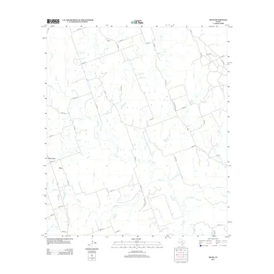
2013 Map of Hicks
USGS Topo · Published 2013About this map
Hicks and Forest Grove serve as the primary landmarks in this rural landscape of Lee County, where a complex network of county roads and creek drainages defines the local geography. The area's history is anchored by the Harmony Cem in the northern portion, a vital point of reference for genealogists researching family roots in this corner of Texas. The terrain is deeply etched by watercourses such as the E Yegua Cr, which receives flow from several named tributaries including Allen Cr and Briar Br.
Find a feature on this map
43 named features on this map. Tap any name to fly to it.
Don’t see what you’re looking for? This feature index may not catch every label — zoom into the map to look around manually.
Map Details
Editions of this 2013 Hicks Map
This is the sole edition of this map. No revisions or reprints were ever made.
Other maps of this area
1885 · Taylor
USGS Topo · 1:125,000
1885 · Bastrop
USGS Topo · 1:125,000
1887 · Taylor
USGS Topo · 1:125,000
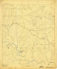
1893 · Bastrop
USGS Topo · 1:125,000
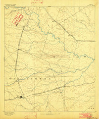
1894 · Taylor
USGS Topo · 1:125,000
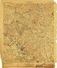
1904 · Bastrop
USGS Topo · 1:125,000
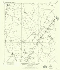
1919 · Dime Box
USGS Topo · 1:62,500
1948 · Lexington
USGS Topo · 1:62,500
1950 · Lexington
USGS Topo · 1:62,500

1954 · Austin
USGS Topo · 1:250,000