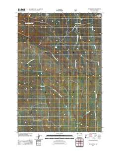
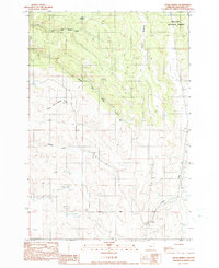
2011 Map of Hicks Spring
USGS Topo · Published 2011About this map
Hicks Spring and the surrounding high-country meadow systems define this part of Wallowa County during the early twenty-first century. The landscape is characterized by the complex drainage of the Whisky Creek system, including the North Fork, Middle Fork, and South Fork Whisky Creek. These waterways, along with Parsnip Creek and Trout Creek, carve through the terrain, separated by high points like those navigated by McAllister Ridge Rd. The presence of Miller Meadow and Braham Meadows suggests a high-altitude grazing or seasonal environment, while the road network—including the curiously named Evans Leap Rd and Any Flat Rd—provides access to this remote corner of the Pacific Northwest. This map serves as a precise record of the physical geography and hydrology of the region at a time when traditional names for these small-scale features were still being maintained in official USGS records.
Find a feature on this map
14 named features on this map. Tap any name to fly to it.
Don’t see what you’re looking for? This feature index may not catch every label — zoom into the map to look around manually.
Map Details
Editions of this 2011 Hicks Spring Map
This is the sole edition of this map. No revisions or reprints were ever made.
Other maps of this area

1955 · Grangeville
USGS Topo · 1:250,000
1957 · Enterprise
USGS Topo · 1:62,500
1957 · Joseph
USGS Topo · 1:62,500
1957 · Sled Springs
USGS Topo · 1:62,500
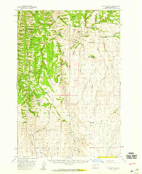
1957 · Elk Mountain
USGS Topo · 1:62,500

1959 · Grangeville
USGS Topo · 1:250,000
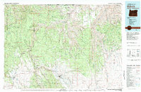
1982 · Wallowa
USGS Topo · 1:100,000
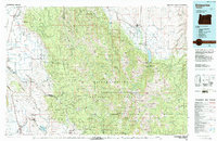
1986 · Enterprise
USGS Topo · 1:100,000
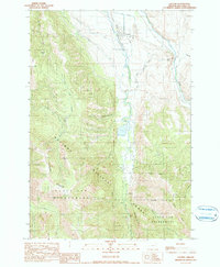
1990 · Lostine
USGS Topo · 1:24,000
1990 · Hicks Spring
USGS Topo · 1:24,000