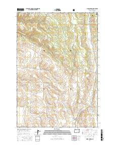
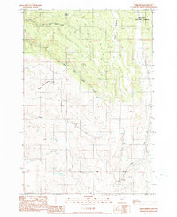
2017 Map of Hicks Spring
USGS Topo · Published 2017About this map
Wallowa National Forest land dominates the northeastern corner of this area, where high meadows and the headwaters of numerous creeks shape the landscape. This portion of Wallowa County is defined by a dense network of mountain drainages, including the branching forks of N Fork Whiskey Cr, Middle Fork Whiskey Cr, and S Fork Whiskey Cr. The presence of Miller Meadow and Braham Meadows suggests the importance of high-elevation grazing or open clearings within the timbered forest. A series of early roads and forest lanes, such as McAllister Ridge Rd and School Flat Rd, navigate the complex topography, providing access to landmarks like Hicks Spring. The map captures the interface between managed forest lands and the rural backroads that connect remote geographic features like Parsnip Cr and Trout Cr.
Find a feature on this map
20 named features on this map. Tap any name to fly to it.
Don’t see what you’re looking for? This feature index may not catch every label — zoom into the map to look around manually.
Map Details
Editions of this 2017 Hicks Spring Map
This is the sole edition of this map. No revisions or reprints were ever made.
Other maps of this area

1955 · Grangeville
USGS Topo · 1:250,000
1957 · Enterprise
USGS Topo · 1:62,500
1957 · Joseph
USGS Topo · 1:62,500
1957 · Sled Springs
USGS Topo · 1:62,500
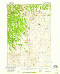
1957 · Elk Mountain
USGS Topo · 1:62,500

1959 · Grangeville
USGS Topo · 1:250,000
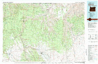
1982 · Wallowa
USGS Topo · 1:100,000
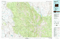
1986 · Enterprise
USGS Topo · 1:100,000
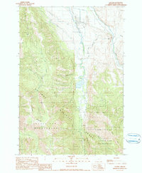
1990 · Lostine
USGS Topo · 1:24,000
1990 · Hicks Spring
USGS Topo · 1:24,000