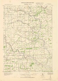
1928 Map of Hicky
USGS Topo · Published 1928About this map
Lieut. Col. George A. Zinn of the Corps of Engineers directed this reconnaissance of St. Clair County, revealing a landscape defined by its vital watercourses and early twentieth-century rail network. The Belle River and Pine River meander through the southern half of the quadrangle, which is anchored by crossroads communities like Muttonville and Adair. This period of Michigan’s development is characterized by the convergence of major transit routes, including the Pere Marquette R. R. and the Grand Trunk R. R., which facilitated local commerce at stations such as Burns Sta and Smiths Creek.
Find a feature on this map
35 named features on this map. Tap any name to fly to it.
Don’t see what you’re looking for? This feature index may not catch every label — zoom into the map to look around manually.
Map Details
Editions of this 1928 Hicky Map
This is the sole edition of this map. No revisions or reprints were ever made.
Other maps of this area
1912 · Mt Clemens
USGS Topo · 1:62,500
1912 · Port Huron
USGS Topo · 1:62,500
1914 · Armada
USGS Topo · 1:62,500
1914 · Algonac
USGS Topo · 1:62,500
1928 · Armada
USGS Topo · 1:62,500
1929 · Mt Clemens
USGS Topo · 1:62,500
1929 · Port Huron
USGS Topo · 1:62,500
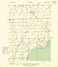
1936 · New Haven
USGS Topo · 1:31,680
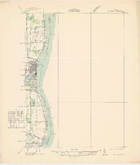
1936 · St. Clair
USGS Topo · 1:31,680
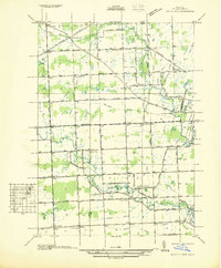
1936 · Rattle Run
USGS Topo · 1:31,680