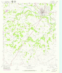
1956 Map of Hico
USGS Topo · Published 1979About this map
The North Bosque River winds through this central Texas landscape, anchoring the settlement of Hico near the boundary of Erath and Hamilton Counties. By the mid-1950s, the local economy appears transitionary, evidenced by numerous Gravel Pits and Caliche Pits alongside traditional ranching and recreational spaces like the Blue Bonnet Country Club. Transport patterns are defined by the American Legion Memorial Highway and the prominent Old Railroad Grade, which traces the river valley and signals the era's shift in regional connectivity.
Find a feature on this map
30 named features on this map. Tap any name to fly to it.
Don’t see what you’re looking for? This feature index may not catch every label — zoom into the map to look around manually.
Map Details
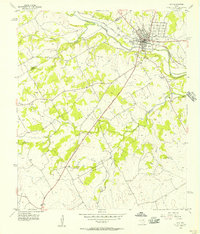
Editions of this 1956 Hico Map
2 editions found
Other maps of this area

1888 · Hamilton
USGS Topo · 1:125,000

1888 · Meridian
USGS Topo · 1:125,000

1889 · Granbury
USGS Topo · 1:125,000

1890 · Stephenville
USGS Topo · 1:125,000

1894 · Hamilton
USGS Topo · 1:125,000

1894 · Meridian
USGS Topo · 1:125,000

1920 · Stephenville
USGS Topo · 1:125,000

1954 · Brownwood
USGS Topo · 1:250,000

1954 · Dallas
USGS Topo · 1:250,000

1954 · Waco
USGS Topo · 1:250,000