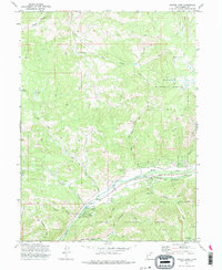
1972 Map of Hidden Lake
USGS Topo · Published 1985About this map
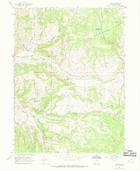
Weber River drainage patterns define this high-elevation landscape within the Wasatch National Forest, where steep drainages and mountain basins dictate the path of travel. The map captures a network of specialized water features, from the high Hidden Lake and Shingle Mill Lake in the south to the Elkhorn Reservoir in the northwest. Evidence of resource extraction is visible through Gravel Pits located near the Weber River, while the presence of a Water Tank and several Pack Trails suggests the infrastructure required for managing livestock or forest resources in this terrain. Notable physical landmarks include the Mahogany Hills, Whites Basin, and Frazier Hollow, which flank the river valleys. The convergence of numerous tributaries like Smith and Morehouse Creek and Stillman Creek into the main river channel illustrates the complex hydrology of the Summit County highlands in the early 1970s.
Find a feature on this map
29 named features on this map. Tap any name to fly to it.
Don’t see what you’re looking for? This feature index may not catch every label — zoom into the map to look around manually.
Map Details
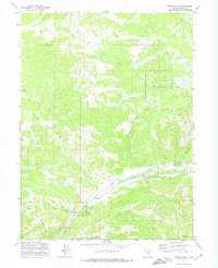
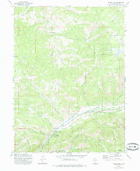
Editions of this 1972 Hidden Lake Map
3 editions found
Other maps of this area

1885 · Salt Lake
USGS Topo · 1:250,000

1900 · Coalville
USGS Topo · 1:125,000

1903 · Coalville
USGS Topo · 1:125,000

1954 · Salt Lake City
USGS Topo · 1:250,000

1958 · Salt Lake City
USGS Topo · 1:250,000

1960 · Salt Lake City
USGS Topo · 1:250,000
1967 · Turner Hollow
USGS Topo · 1:24,000

1967 · Kamas
USGS Topo · 1:24,000
1967 · Upton
USGS Topo · 1:24,000
1967 · Crandall Canyon
USGS Topo · 1:24,000