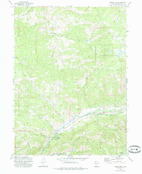
1972 Map of Hidden Lake
USGS Topo · Published 1985About this map
The Wasatch National Forest dominates this high-altitude landscape in Summit County, where complex hydrology feeds major regional waterways. The Weber River cuts across the southern portion of the quadrangle, joined by the Smith and Morehouse Creek and the South Fork Weber River. To the north, the drainage shifts toward the South Fork Chalk Creek system via Branch Creek.
Find a feature on this map
30 named features on this map. Tap any name to fly to it.
Don’t see what you’re looking for? This feature index may not catch every label — zoom into the map to look around manually.
Map Details
Editions of this 1972 Hidden Lake Map
3 editions found
Other maps of this area

1885 · Salt Lake
USGS Topo · 1:250,000

1900 · Coalville
USGS Topo · 1:125,000

1903 · Coalville
USGS Topo · 1:125,000

1954 · Salt Lake City
USGS Topo · 1:250,000

1958 · Salt Lake City
USGS Topo · 1:250,000

1960 · Salt Lake City
USGS Topo · 1:250,000
1967 · Turner Hollow
USGS Topo · 1:24,000

1967 · Kamas
USGS Topo · 1:24,000
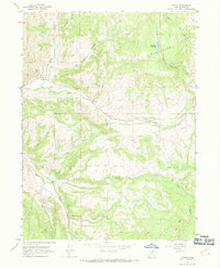
1967 · Upton
USGS Topo · 1:24,000
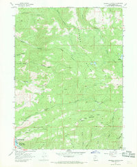
1967 · Crandall Canyon
USGS Topo · 1:24,000