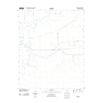
2012 Map of Higgins
USGS Topo · Published 2012About this map
Higgins serves as the central hub of this Latimer County landscape, situated at the intersection of a road network that snakes through the drainage basins of Gaines Cr and Buffalo Cr. The terrain is defined by the prominent height of Blue Mtn in the northeast, while the southern reaches transition into a complex web of seasonal waterways. Local history is anchored by the Mtn Station Cem, located along Mountain Station Rd north of the main settlement. This 2012 topographic record documents the rural character of the region, where named routes like Wet Prairie Rd and Snake Rd trace the contours of the land. The presence of Cedar Cr and various unnamed ponds indicates a territory defined by its hydraulic patterns and agricultural isolation.
Find a feature on this map
25 named features on this map. Tap any name to fly to it.
Don’t see what you’re looking for? This feature index may not catch every label — zoom into the map to look around manually.
Map Details
Editions of this 2012 Higgins Map
This is the sole edition of this map. No revisions or reprints were ever made.
Other maps of this area
1898 · McAlester
USGS Topo · 1:125,000
1901 · Tuskahoma
USGS Topo · 1:125,000
1908 · Tuskahoma
USGS Topo · 1:125,000
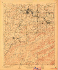
1909 · Mc Alester
USGS Topo · 1:125,000
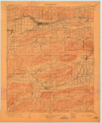
1909 · Tuskahoma
USGS Topo · 1:125,000
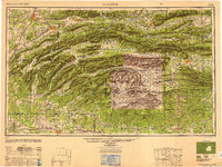
1950 · Mcalester
USGS Topo · 1:250,000
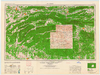
1962 · McAlester
USGS Topo · 1:250,000
1965 · McAlester
USGS Topo · 1:250,000
1967 · Adamson
USGS Topo · 1:24,000
1967 · Hartshorne
USGS Topo · 1:24,000