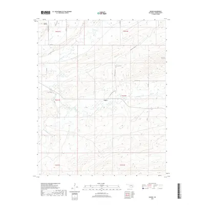
2018 Map of Higgins
USGS Topo · Published 2018About this map
Higgins occupies the center of this rural landscape in Latimer County, where the terrain is defined by the significant elevations of Number Ten Mtn and Blue Mtn. The settlement pattern follows the natural flow of numerous watercourses, including Gaines Creek, Buffalo Creek, and Cedar Cr. A network of local routes, such as Gowen Cemetary Rd and Higgins Damon Valley Rd, connects the scattered residents to central landmarks like the Mountain Station Cem. This survey illustrates the geographic relationship between isolated homesteads and the high ridges of the Choctaw Nation, where traditional family-named roads like Zivern McGuire Rd and Snake Rd provide access through the dense valleys and over the steep mountain passes.
Find a feature on this map
30 named features on this map. Tap any name to fly to it.
Don’t see what you’re looking for? This feature index may not catch every label — zoom into the map to look around manually.
Map Details
Editions of this 2018 Higgins Map
This is the sole edition of this map. No revisions or reprints were ever made.
Other maps of this area
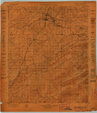
1898 · McAlester
USGS Topo · 1:125,000
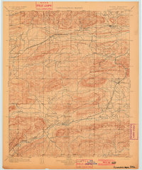
1901 · Tuskahoma
USGS Topo · 1:125,000
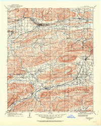
1908 · Tuskahoma
USGS Topo · 1:125,000
1909 · Mc Alester
USGS Topo · 1:125,000
1909 · Tuskahoma
USGS Topo · 1:125,000
1950 · Mcalester
USGS Topo · 1:250,000
1962 · McAlester
USGS Topo · 1:250,000
1965 · McAlester
USGS Topo · 1:250,000
1967 · Adamson
USGS Topo · 1:24,000
1967 · Hartshorne
USGS Topo · 1:24,000