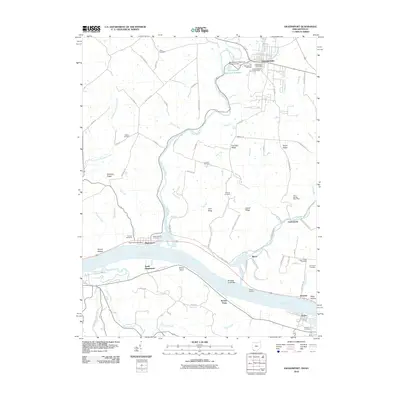
2010 Map of Higginsport
USGS Topo · Published 2010About this map
Georgetown anchors the northern reaches of this Ohio riverfront landscape, where the Brown County Fairgrounds and Georgetown Post Office mark the local seat of commerce. The terrain is defined by a series of prominent ridges, including Free Soil Ridge and Shinkles Ridge, which rise above the many creek branches flowing toward the Ohio River. Along the southern boundary, the riverfront settlements of Higginsport, South Higginsport, and Levanna follow the shoreline, while the crossing at Dover connects the Ohio and Kentucky sides.
Find a feature on this map
91 named features on this map. Tap any name to fly to it.
Don’t see what you’re looking for? This feature index may not catch every label — zoom into the map to look around manually.
Map Details
Editions of this 2010 Higginsport Map
This is the sole edition of this map. No revisions or reprints were ever made.
Other maps of this area

1915 · Maysville
USGS Topo · 1:62,500

1919 · Maysville
USGS Topo · 1:62,500

1928 · Higginsport
USGS Topo · 1:48,000

1931 · Felicity
USGS Topo · 1:62,500

1931 · Higginsport
USGS Topo · 1:62,500

1952 · Germantown
USGS Topo · 1:24,000

1952 · Higginsport
USGS Topo · 1:24,000

1952 · Maysville West
USGS Topo · 1:24,000

1952 · Brooksville
USGS Topo · 1:24,000

1953 · Bethel
USGS Topo · 1:24,000