Loading...
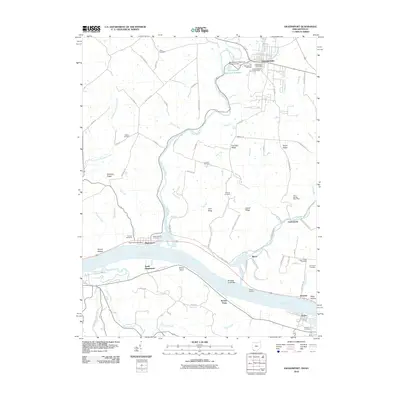
Loading map...1961 Map of Higginsport
USGS Topo · Published 1976About this map
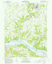
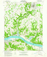
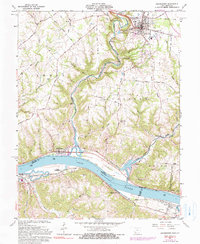
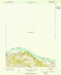
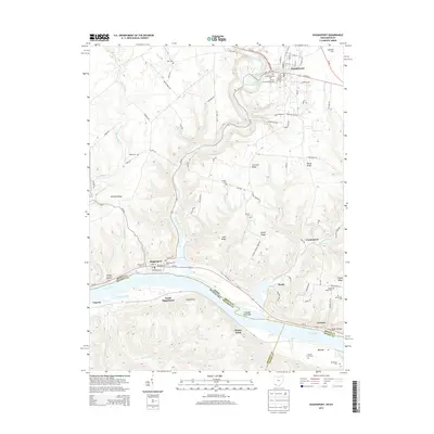
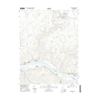
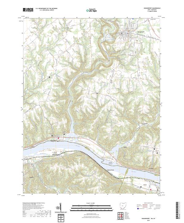
Georgetown stands as the primary hub of this 1960s riverfront survey, positioned north of the winding Ohio River valley. The map documents the mid-century character of Brown County, where small agricultural communities like Higginsport and Levanna are linked by rural routes such as White Oak Road and Day Road. Across the river in Kentucky, the Chesapeake and Ohio railroad corridor tracks the shoreline near Augusta and Dover, highlighting the enduring importance of the river-and-rail transportation network to the region's economy.
Find a feature on this map
71 named features on this map. Tap any name to fly to it.
Don’t see what you’re looking for? This feature index may not catch every label — zoom into the map to look around manually.
Map Details
Date Portrayed1961
Date Published1976
PublisherU.S. Geological Survey
Map TypeTopographic
Scale1:24,000
Physical Dimensions22 x 27 inches
Editions of this 1961 Higginsport Map
Historical Maps of Georgetown Through Time
9 maps found


Featured Locations
Source Details
SourceU.S. Geological Survey
CopyrightPublic Domain