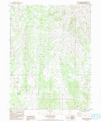
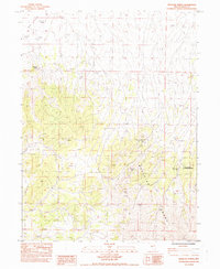
1984 Map of High Bald Peaks
USGS Topo · Published 1992About this map
The Medicine Range dominates this landscape in northeastern Nevada, where the high elevations of the High Bald Peaks define the local topography. This 1984 survey, published as a provisional edition, illustrates a largely undeveloped high-country environment characterized by a network of primitive 4wd routes and specific range infrastructure. The presence of the Mud Tank Corral indicates the importance of livestock management and grazing in these uplands. Precise surveying markers like BM 64 Dcr and BM 63 Dcr provide exact benchmark elevations for researchers tracing the historical geodetic control of the region during the late twentieth century.
Find a feature on this map
8 named features on this map. Tap any name to fly to it.
Don’t see what you’re looking for? This feature index may not catch every label — zoom into the map to look around manually.
Map Details
Editions of this 1984 High Bald Peaks Map
2 editions found
Other maps of this area

1955 · Elko
USGS Topo · 1:250,000

1958 · Elko
USGS Topo · 1:250,000

1962 · Elko
USGS Topo · 1:250,000

1965 · Elko
USGS Topo · 1:250,000

1968 · Franklin Lake SE
USGS Topo · 1:24,000
1968 · Ruby Lake SE
USGS Topo · 1:24,000

1968 · Ruby Lake NE
USGS Topo · 1:24,000
1984 · High Bald Peaks SE
USGS Topo · 1:24,000
1984 · High Bald Peaks
USGS Topo · 1:24,000
1984 · Medicine Spring
USGS Topo · 1:24,000