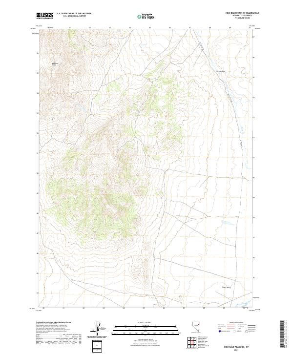
2021 Map of High Bald Peaks NE
USGS Topo · Published 2021About this map
Medicine Range dominates the western portion of this Elko County landscape, giving way to the high desert basin of Butte Valley to the east. This 2021 survey documents the remote transition from mountainous terrain into the valley floor, where Butte Valley Rd serves as the primary artery through the sagebrush and scrub. Sparse water sources define the area's hydrology, including the seasonal drainage of Little Tomhicken Cr and the more prominent Butte Cr. A distinctive geological constriction known as The Narrows provides a clear landmark where the valley floor tightens against the rising slopes, illustrating the characteristic Great Basin topography that has dictated travel routes and land use in this part of Nevada for generations.
Find a feature on this map
11 named features on this map. Tap any name to fly to it.
Don’t see what you’re looking for? This feature index may not catch every label — zoom into the map to look around manually.
Map Details
Editions of this 2021 High Bald Peaks NE Map
This is the sole edition of this map. No revisions or reprints were ever made.
Other maps of this area

1955 · Elko
USGS Topo · 1:250,000

1958 · Elko
USGS Topo · 1:250,000

1962 · Elko
USGS Topo · 1:250,000

1965 · Elko
USGS Topo · 1:250,000
1984 · Paris Creek
USGS Topo · 1:24,000
1984 · Mt. Taylor
USGS Topo · 1:24,000
1984 · High Bald Peaks SE
USGS Topo · 1:24,000

1984 · Silo Canyon
USGS Topo · 1:24,000
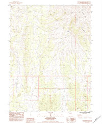
1984 · High Bald Peaks
USGS Topo · 1:24,000
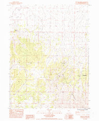
1984 · Medicine Spring
USGS Topo · 1:24,000