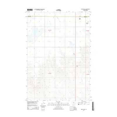
2015 Map of High Elk Hill
USGS Topo · Published 2015About this map
The rolling plains of South Dakota's Dewey and Ziebach counties meet in this 2015 survey, which centers on the prominent landmark of High Elk Hill. The landscape is defined by the high, open divides between several watercourses, including Green Grass Cr to the north and the drainages of Herbert Cr and E Fork Rudy Cr to the east and south. In the northeastern corner of the map, the settlement of Eagle Butte serves as a local hub, supported by the Cheyenne Eagle Butte Airport and critical transport routes such as Airport Rd. The map also documents local landmarks with deep community ties, such as the Saint Marks Cem, located near the center of the quadrangle. The grid-like public land survey system remains the dominant organizational feature across these sprawling townships.
Find a feature on this map
17 named features on this map. Tap any name to fly to it.
Don’t see what you’re looking for? This feature index may not catch every label — zoom into the map to look around manually.
Map Details
Editions of this 2015 High Elk Hill Map
This is the sole edition of this map. No revisions or reprints were ever made.
Other maps of this area

1953 · McIntosh
USGS Topo · 1:250,000

1954 · Pierre
USGS Topo · 1:250,000

1958 · Pierre
USGS Topo · 1:250,000

1958 · McIntosh
USGS Topo · 1:250,000
1981 · Herbert Creek
USGS Topo · 1:24,000
1981 · Parade SW
USGS Topo · 1:24,000
1981 · Herbert Creek SW
USGS Topo · 1:24,000
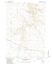
1981 · Lantry
USGS Topo · 1:24,000
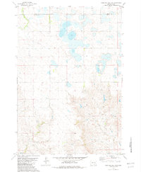
1981 · High Elk Hill NW
USGS Topo · 1:24,000
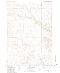
1981 · High Elk Hill SE
USGS Topo · 1:24,000