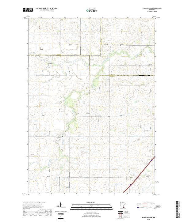
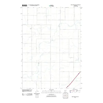
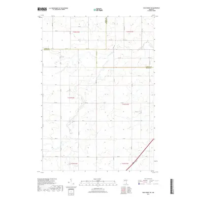
2022 Map of High Forest SW
USGS Topo · Published 2022About this map
The rolling agricultural landscape of southeast Minnesota is defined here by the winding course of the N Br Root River, which meanders south through the central portion of the sheet. This rural area at the borders of Mower, Dodge, and Olmsted counties maintains a strong connection to its Lutheran heritage, visible in the placement of Evanger Cem and Zion Lutheran Cem. These small cemeteries serve as quiet markers of the early Scandinavian and German families who established farmsteads along the section lines.
Find a feature on this map
55 named features on this map. Tap any name to fly to it.
Don’t see what you’re looking for? This feature index may not catch every label — zoom into the map to look around manually.
Map Details
Editions of this 2022 High Forest SW Map
This is the sole edition of this map. No revisions or reprints were ever made.
Historical Maps of Haven Hutterite Colony Through Time
12 maps found
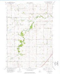
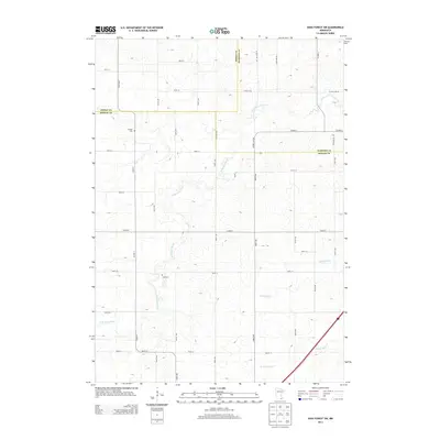
1974 High Forest SW
Mower County, MN
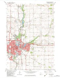
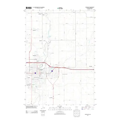
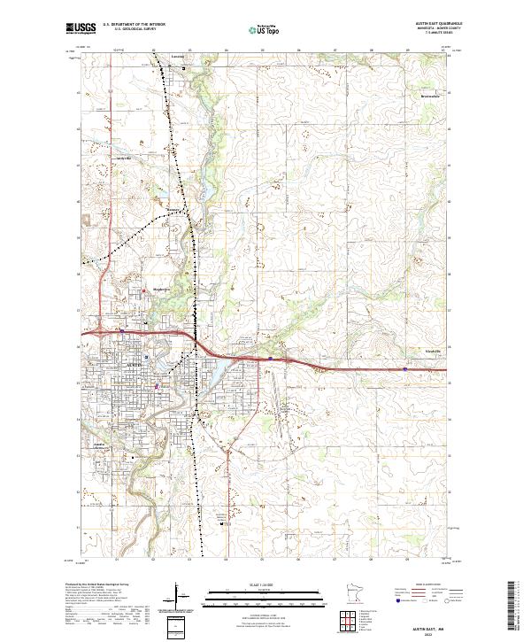
1982 Austin East
Mower County, MN
2010 Austin East
Mower County, MN
2010 High Forest SW
Mower County, MN
2013 Austin East
Mower County, MN
2013 High Forest SW
Mower County, MN
2016 Austin East
Mower County, MN
2016 High Forest SW
Mower County, MN
2019 Austin East
Mower County, MN
2019 High Forest SW
Mower County, MN
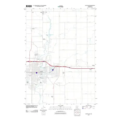
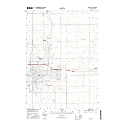
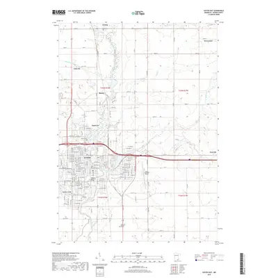
2022 Austin East
Mower County, MN
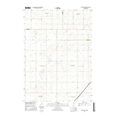
2022 High Forest SW
Mower County, MN