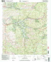
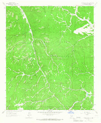
2004 Map of High Rolls
USGS Topo · Published 2006About this map
High Rolls and Mountain Park serve as central points of settlement within the Lincoln National Forest, illustrating a community landscape defined by the intersection of forest management and residential development. This 2004 revision, based on imagery from the turn of the millennium, details a terrain where orchard-growing history meets modern recreation, featuring several prospects and a mine near Rock House Canyon. The presence of the Sunspot Scenic Byway and various recreation areas like Upper Karr Recreation Area highlights the importance of tourism and access in this part of the Sacramento Mountains. Local landmarks such as the Communication Tower, a small cemetery, and the Athletic Field provide specific points of interest for genealogists and local historians tracking the footprint of these upland communities.
Find a feature on this map
63 named features on this map. Tap any name to fly to it.
Don’t see what you’re looking for? This feature index may not catch every label — zoom into the map to look around manually.
Map Details
Editions of this 2004 High Rolls Map
This is the sole edition of this map. No revisions or reprints were ever made.
Other maps of this area
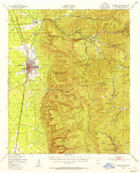
1950 · Alamogordo
USGS Topo · 1:62,500
1950 · Mescalero
USGS Topo · 1:62,500
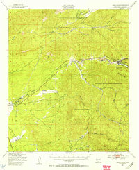
1952 · Cloudcroft
USGS Topo · 1:62,500

1954 · Carlsbad
USGS Topo · 1:250,000

1955 · Roswell
USGS Topo · 1:250,000

1958 · Carlsbad
USGS Topo · 1:250,000

1958 · Roswell
USGS Topo · 1:250,000

1962 · Roswell
USGS Topo · 1:250,000
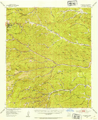
1963 · Firman Canyon
USGS Topo · 1:24,000
1974 · Bluff Springs
USGS Topo · 1:24,000