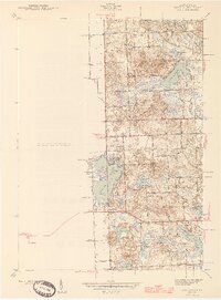
1945 Map of Highland
USGS Topo · Published 1945About this map
Glacial lakes and wetlands dominate this portion of Oakland County, where the upper reaches of the Huron River wind through a landscape defined by water and woods. The settlement at Seven Harbors sits on the western shore of White Lake, a prominent local landmark featuring Hubbels Island. This survey captures the transition of the region from a rural agricultural area toward a recreational destination, as evidenced by the establishment of the Highland State Recreation Area in the south. Scattered throughout the townships of Springfield and White Lake are numerous small rural schools, such as White Lake Center Sch, Covell Sch, and Gibson Sch, reflecting the community structure of the mid-1940s. The presence of numerous family-named roads, such as Wardlow Rd and Hitchcock Rd, provides valuable data for genealogists tracing local residency during this era of Michigan's development.
Find a feature on this map
46 named features on this map. Tap any name to fly to it.
Don’t see what you’re looking for? This feature index may not catch every label — zoom into the map to look around manually.
Map Details
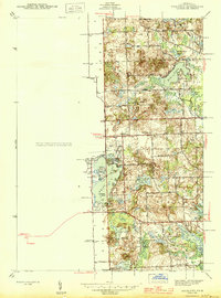
Editions of this 1945 Highland Map
2 editions found
Other maps of this area

1907 · Pontiac
USGS Topo · 1:62,500

1909 · Milford
USGS Topo · 1:62,500

1920 · Holly
USGS Topo · 1:62,500

1922 · Holly
USGS Topo · 1:62,500

1936 · Wixom
USGS Topo · 1:31,680

1936 · Highland
USGS Topo · 1:31,680

1936 · Clarkston
USGS Topo · 1:31,680

1936 · Walled Lake
USGS Topo · 1:31,680

1942 · Highland
USGS Topo · 1:24,000

1943 · Holly
USGS Topo · 1:62,500
Featured Places
- White Lake Charter Township, MI
- Highland Charter Township, MI
- Springfield Charter Township, MI
- Rose Township, MI
- Seven Harbors, Highland Charter Township