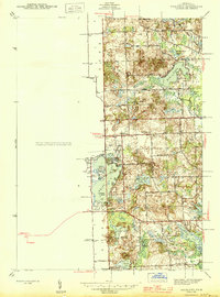
1945 Map of Highland
USGS Topo · Published 1945About this map
White Lake and its intricate shoreline dominate the center of this Oakland County landscape, as mapped by the U.S. Geological Survey in the early 1940s. The region is characterized by a dense concentration of glacial lakes, including Big Lake, Brendel Lake, and Teeple Lake, which supported growing lakeside communities like Seven Harbors. The settlement pattern reveals a transition from traditional rural agriculture to recreational residency, evidenced by numerous small district schoolhouses such as Covell Sch, Gibson Sch, and Thompson Sch scattered among the township sections.
Find a feature on this map
54 named features on this map. Tap any name to fly to it.
Don’t see what you’re looking for? This feature index may not catch every label — zoom into the map to look around manually.
Map Details
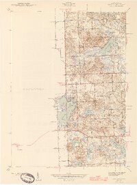
Editions of this 1945 Highland Map
2 editions found
Other maps of this area

1907 · Pontiac
USGS Topo · 1:62,500

1909 · Milford
USGS Topo · 1:62,500

1920 · Holly
USGS Topo · 1:62,500

1922 · Holly
USGS Topo · 1:62,500

1936 · Wixom
USGS Topo · 1:31,680

1936 · Highland
USGS Topo · 1:31,680

1936 · Clarkston
USGS Topo · 1:31,680

1936 · Walled Lake
USGS Topo · 1:31,680

1942 · Highland
USGS Topo · 1:24,000

1943 · Holly
USGS Topo · 1:62,500
Featured Places
- White Lake Charter Township, MI
- Highland Charter Township, MI
- Springfield Charter Township, MI
- Rose Township, MI
- Seven Harbors, Highland Charter Township