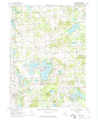
1968 Map of Highland
USGS Topo · Published 1974About this map
The Chesapeake and Ohio railroad corridor cuts through western Oakland County, anchoring the early centers of Highland, Clyde, and Rose Center. This late-1960s landscape, with updates through the early 1970s, reveals a community balancing its agricultural roots with growing residential and recreational development. A dense network of glacial lakes, including White Lake, Duck Lake, and Big Lake, defines the local geography. Significant land is dedicated to public use within the Highland State Recreation Area and Pontiac Lake State Recreation Area, showing the region's evolution into a premier outdoor destination for the Detroit metropolitan area. Local genealogy is well-represented by rural landmarks like the Rose Center Cem and Emmanuel Ch, alongside vanished local schoolhouses such as the Duck Lake Sch and Apollo Sch.
Find a feature on this map
85 named features on this map. Tap any name to fly to it.
Don’t see what you’re looking for? This feature index may not catch every label — zoom into the map to look around manually.
Map Details
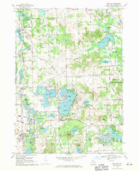
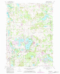
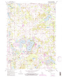
Editions of this 1968 Highland Map
4 editions found
Other maps of this area

1907 · Pontiac
USGS Topo · 1:62,500

1909 · Milford
USGS Topo · 1:62,500

1920 · Holly
USGS Topo · 1:62,500

1922 · Holly
USGS Topo · 1:62,500

1936 · Wixom
USGS Topo · 1:31,680

1936 · Highland
USGS Topo · 1:31,680

1936 · Clarkston
USGS Topo · 1:31,680

1936 · Walled Lake
USGS Topo · 1:31,680

1942 · Highland
USGS Topo · 1:24,000

1943 · Holly
USGS Topo · 1:62,500
Featured Places
- White Lake Charter Township, MI
- Highland Charter Township, MI
- Springfield Charter Township, MI
- Rose Township, MI
- Seven Harbors, Highland Charter Township