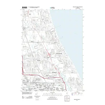
2012 Map of Highland Park
USGS Topo · Published 2012About this map
The North Shore's suburban expansion and complex drainage network are clearly visible in this 2012 study of the Lake Michigan coastline. The Skokie River and the N Br Chicago River dominate the interior landscape, weaving through established communities such as Highland Park, Deerfield, and Highwood. Local history is anchored by numerous memorial sites including the Fort Sheridan Cem and Saint Marys Cem, alongside landmarks of higher education like the Barat Campus DePaul University.
Find a feature on this map
361 named features on this map. Tap any name to fly to it.
Don’t see what you’re looking for? This feature index may not catch every label — zoom into the map to look around manually.
Map Details
Editions of this 2012 Highland Park Map
This is the sole edition of this map. No revisions or reprints were ever made.
Other maps of this area

1899 · Evanston
USGS Topo · 1:62,500

1900 · Highwood
USGS Topo · 1:62,500

1906 · Waukegan
USGS Topo · 1:62,500

1908 · Waukegan
USGS Topo · 1:62,500

1927 · Arlington Heights
USGS Topo · 1:24,000

1928 · Wheeling
USGS Topo · 1:24,000

1928 · Highland Park
USGS Topo · 1:24,000

1928 · Evanston
USGS Topo · 1:24,000

1929 · Park Ridge
USGS Topo · 1:24,000

1951 · Highland Park
USGS Topo · 1:24,000