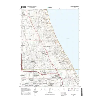
2015 Map of Highland Park
USGS Topo · Published 2015About this map
The North Shore region of Lake Michigan is documented here as a complex network of established residential enclaves and protected natural corridors. The drainage systems of the Skokie River and the N Br Chicago River dictate the topography, including the engineered Skokie Lagoons to the south. Significant historical points of interest include the Fort Sheridan Cem and Saint Marys Cem, alongside older rail-oriented locations like Briergate Station. This mid-2010s snapshot shows the dense suburban maturation of Highland Park, Deerfield, and Lake Forest, where established neighborhoods like Ravinia and Braeside meet the lakeshore. The map provides a clear look at the jurisdictional boundaries between Lake Co and Cook Co along Lake Cook RD, illustrating how these historical townships evolved into the modern Chicago metropolitan corridor.
Find a feature on this map
95 named features on this map. Tap any name to fly to it.
Don’t see what you’re looking for? This feature index may not catch every label — zoom into the map to look around manually.
Map Details
Editions of this 2015 Highland Park Map
This is the sole edition of this map. No revisions or reprints were ever made.
Other maps of this area

1899 · Evanston
USGS Topo · 1:62,500

1900 · Highwood
USGS Topo · 1:62,500

1906 · Waukegan
USGS Topo · 1:62,500

1908 · Waukegan
USGS Topo · 1:62,500

1927 · Arlington Heights
USGS Topo · 1:24,000

1928 · Wheeling
USGS Topo · 1:24,000

1928 · Highland Park
USGS Topo · 1:24,000

1928 · Evanston
USGS Topo · 1:24,000

1929 · Park Ridge
USGS Topo · 1:24,000

1951 · Highland Park
USGS Topo · 1:24,000